Tracking changes in mangrove cover using satellite and drone imagery

Donate to this project

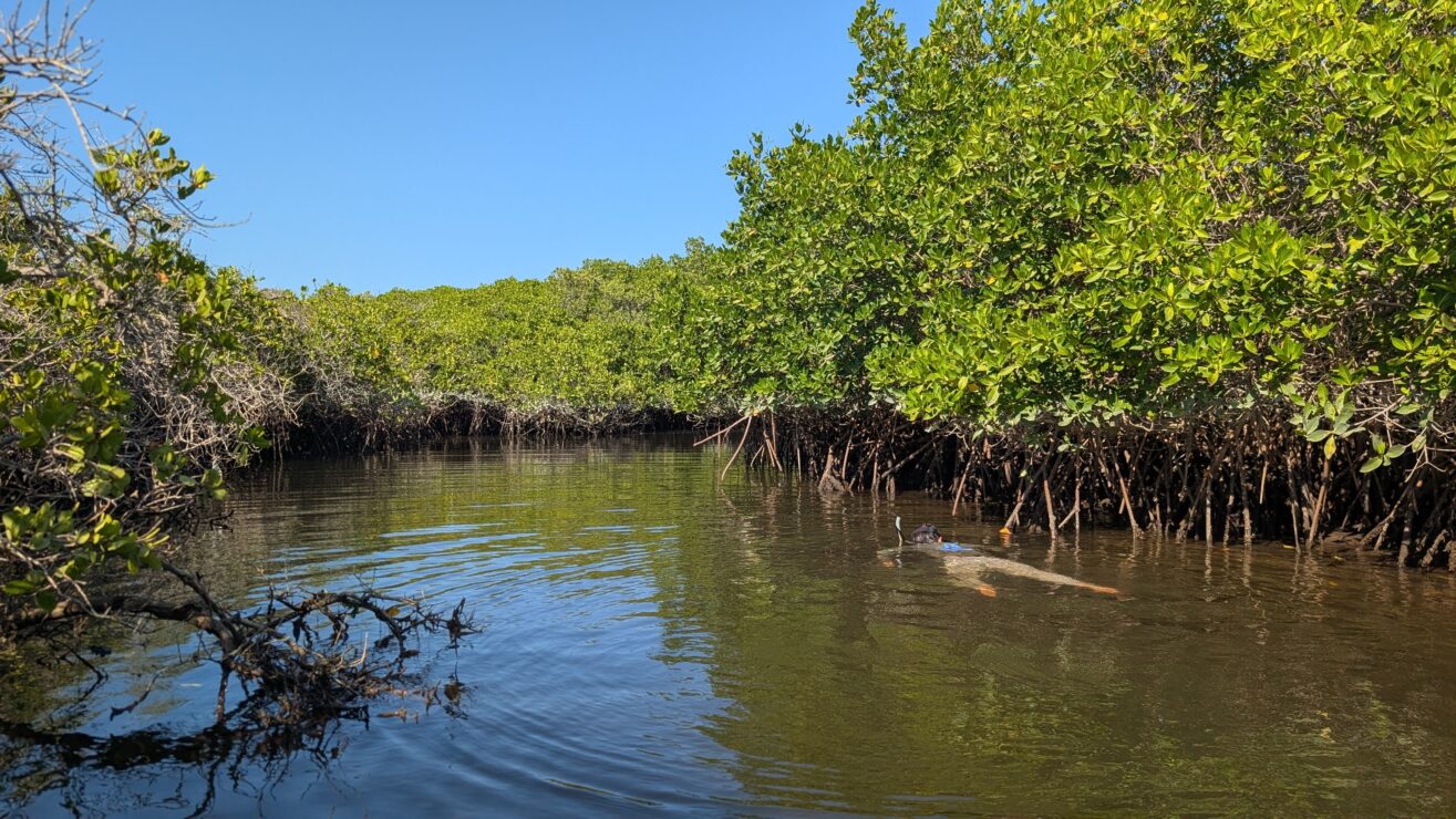
Mangrove forests are foundational to the health of coastal ecosystems, serving as vital nursery habitats for marine life and providing essential protection for shoreline communities against erosion and storm surge. Despite their importance, these habitats are under significant threat globally. Effective, long-term conservation requires accurate and timely information on their health and extent—a profound challenge across remote and expansive coastlines.

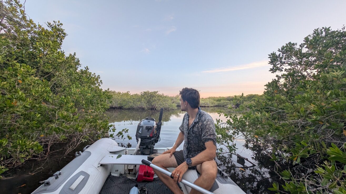
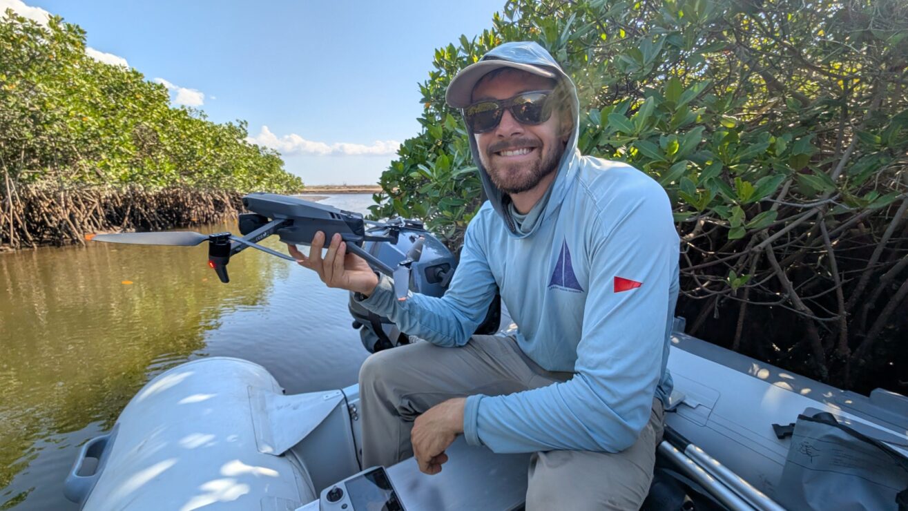
This project addresses this challenge by pioneering a powerful fusion of satellite and high-resolution drone technologies to monitor mangrove change in Baja California. By developing and validating a precise, scalable, and cost-effective methodology, we aim to move beyond infrequent assessments to a system of robust, continuous monitoring. This work will empower a proactive management approach to safeguard these invaluable ecosystems for the future.


Project Objectives


Our research is designed to build a powerful monitoring framework that translates cutting-edge remote sensing science into direct conservation outcomes. The project is centered on three interconnected objectives:

  • Validate and Refine Remote Sensing Methodologies: We will rigorously compare multiple satellite-derived indices (MVI and NDVI) against ultra-high-resolution drone imagery. The primary goal is to establish the most accurate and efficient protocol for mapping mangrove canopy cover across large spatial scales, ensuring our regional assessments are built on a foundation of verified data.
  • Assess Regional Mangrove Dynamics (2018–2025): Using this validated methodology, we will analyze nearly a decade of satellite data to quantify changes in mangrove cover at five key sites throughout Baja California Sur. This analysis will create a critical historical baseline and identify regional hotspots of degradation, stability, or expansion.
  • Translate Data into Actionable Conservation Strategies: Finally, we will translate our scientific findings into accessible data products and management recommendations. This will support evidence-based decision-making for the targeted protection and restoration of critical mangrove habitats.

The primary innovation of this project is the synergistic use of multi-scale remote sensing data. By calibrating broad-scale satellite information with fine-scale drone verification, we are creating a highly reliable yet cost-effective monitoring framework that overcomes the limitations of using either technology in isolation.

Locally, the project will provide resource managers in Baja California with a powerful, data-driven tool to prioritize conservation efforts, track the success of restoration projects, and respond to emerging threats. Globally, the methodology established here will serve as an exportable and scalable model for monitoring mangrove ecosystems worldwide, particularly in regions where on-the-ground resources are limited. This work enhances our collective capacity to protect one of the planet’s most critical coastal habitats.

Collaborators

Learn more about our other projects

Back to our work