
Tracking changes in mangrove cover using satellite and drone imagery
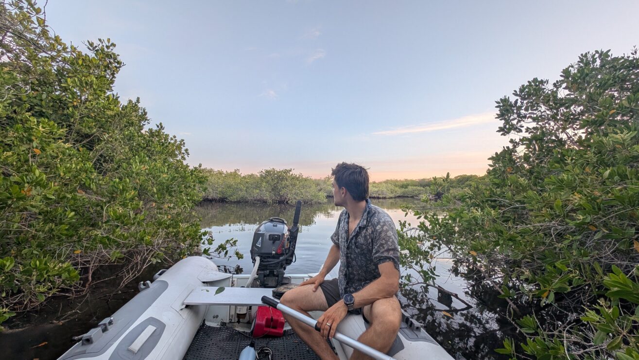
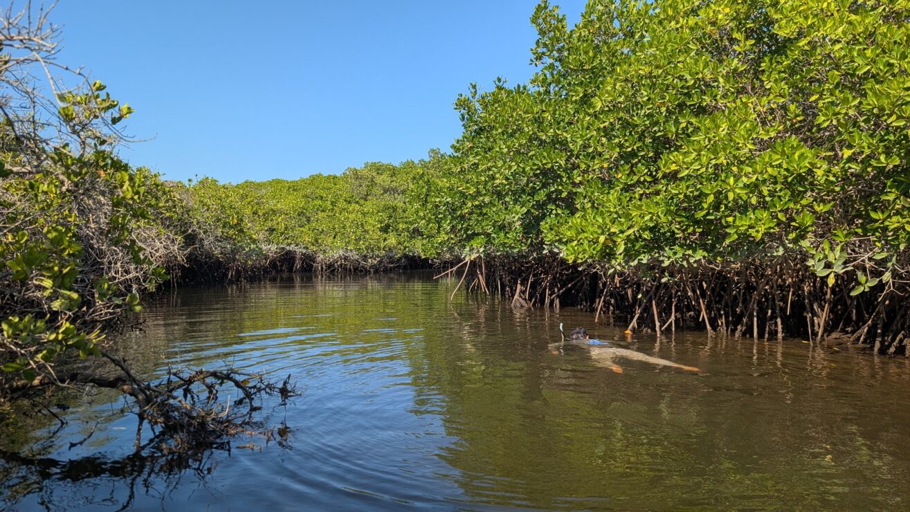
Mangrove forests are foundational to the health of coastal ecosystems, serving as vital nursery habitats for marine life and providing essential protection for shoreline communities against erosion and storm surge. Despite their importance, these habitats are under significant threat globally. Effective, long-term conservation requires efficient monitoring techniques that are accessible to local managers. This project addresses this challenge by comparing methods for monitoring mangrove canopy cover in Baja California Sur.
Goals
1. Assess methods for monitoring mangrove forest size.
2. Conduct a regional analysis in Baja California Sur to characterize forest change over time.
Objectives
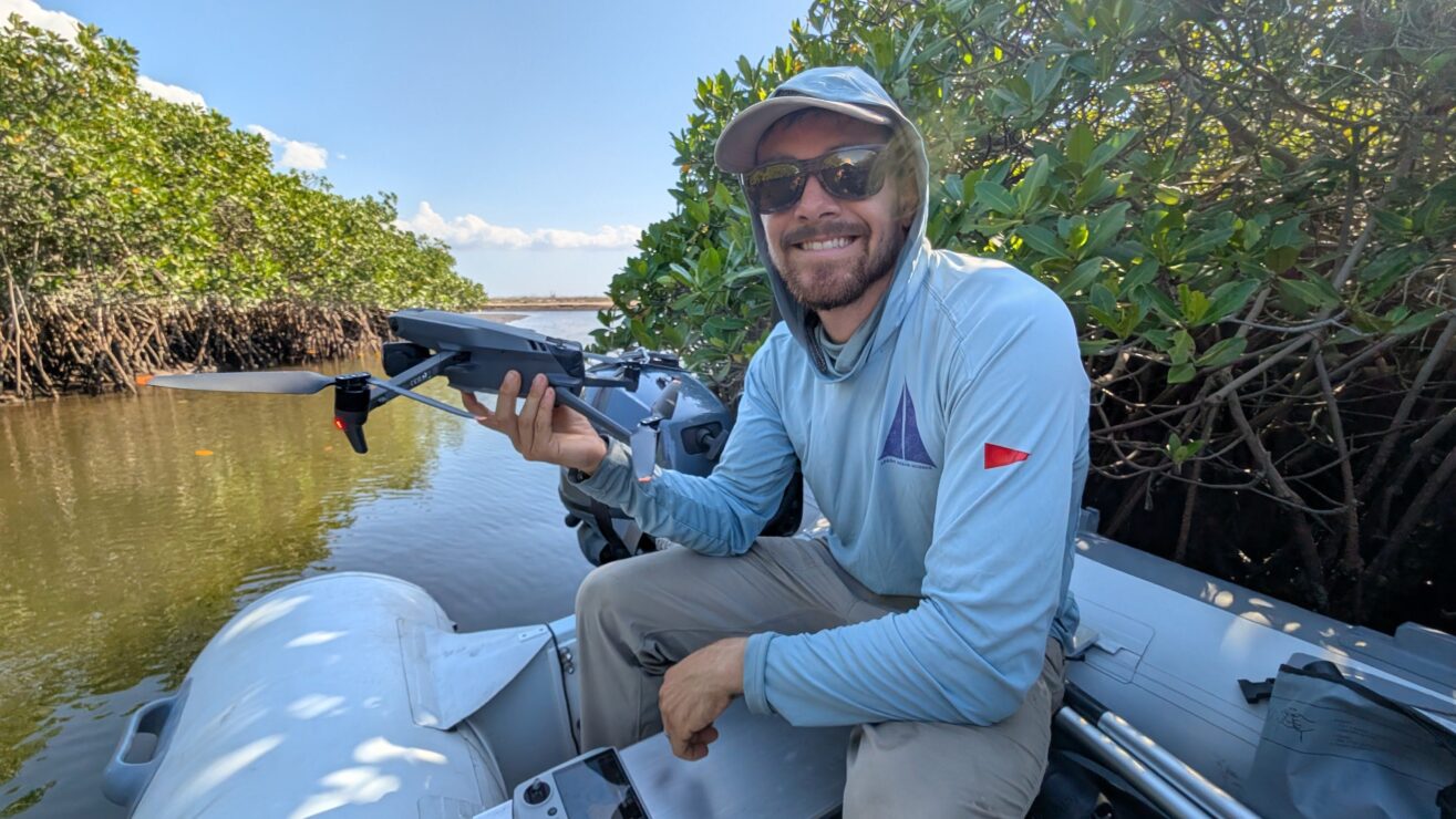
1.Rigorously compare multiple satellite-derived indices (MVI and NDVI) against ultra-high-resolution drone imagery to establish the most accurate and efficient method for tracking mangrove forest size.
2. Assess regional mangrove dynamics (2018–2025) at five key sites throughout Baja California Sur. This analysis will create a historical baseline and identify regional hotspots of degradation, stability, or expansion.
2. Present methodology and findings at the Western Society of Naturalists 2025 and to local conservation planners.

Collaborators
