
Identifying climate refugia to inform management plans
The Gulf of California is a marine biodiversity hotspot that is increasingly being threatened by climate change impacts and marine heatwaves. With rising ocean temperatures and more frequent heatwaves already reorganizing marine communities and impacting biodiversity in the rocky reefs in this region, creating climate-smart protected areas is essential to safeguard these valuable ecosystems and the resources they provide.
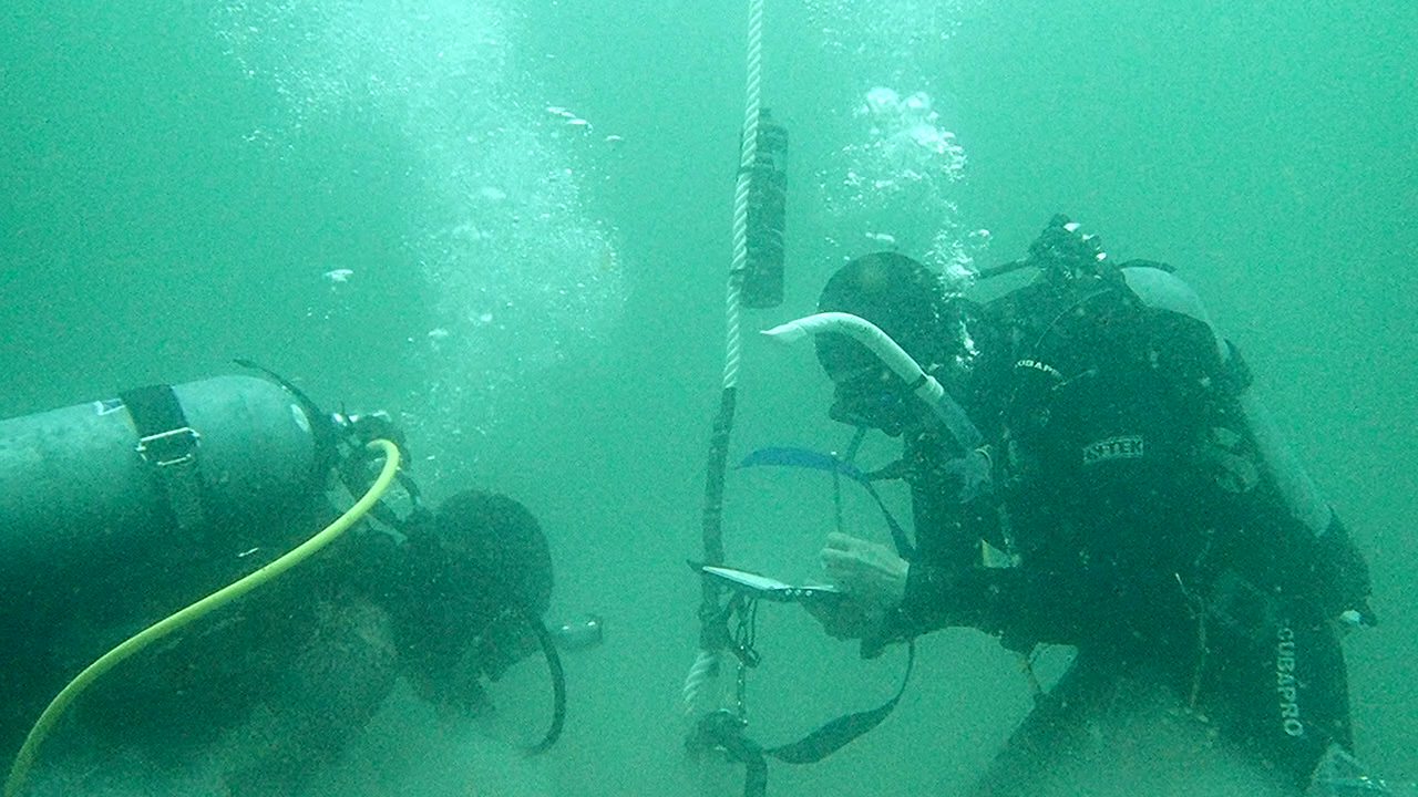
Protecting climate refugia has been proposed as a potential strategy to mitigate these threats. This project aims to identify potential climate refugia within the nearshore ecosystems of the southwestern Gulf of California by gathering fine scale oceanographic data.
Climate-level variability creates nearshore spatial refuges (100m – 1000m) from stressors. High daily fluctuations in sea surface temperature (SST), a signature of upwelling, has been linked to the presence of small-scale refugia, though further studies are needed to develop robust approaches for identifying and mapping microclimate refugia across multiple ecosystem types at small spatial scales. This study compares two methods for identifying climate refugia: (1) high historical SST variability, and (2) low historical average temperature.
Research questions:
What is the seasonal variability in the depth of the thermocline and oxycline across the region?
Which zones are experiencing relatively high environmental stress?
Is high SST variability linked to the presence of microclimate refugia in this region?

Collaborators
